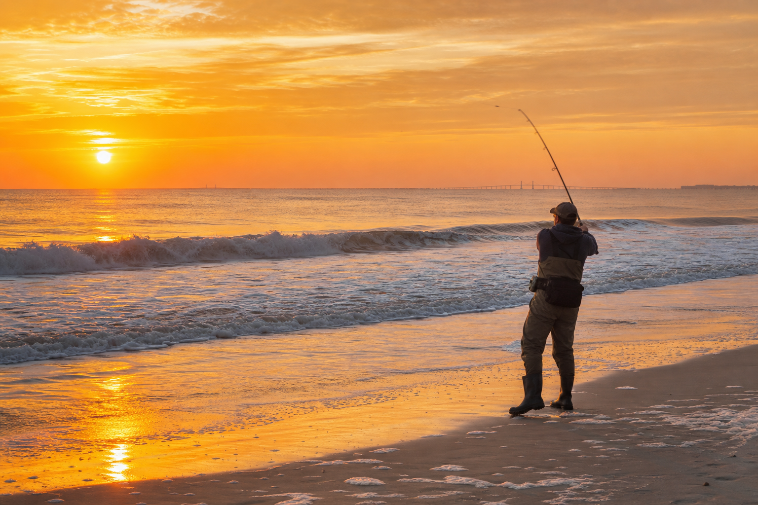
Your cart is empty
Start shopping to add items to your cart
Rudee Inlet canyon runs, cobia slicks off York Spit, tog coming off the Bridge-Tunnel rock, winter specks up the Elizabeth — plus ninety-two species guides, VMRC rules decoded, and charters you book without a platform taking a cut.
Traveling light to the Bay?
Pre-rigged kits shipped to wherever you are staying — from a Sandbridge rental to an Eastern Shore cabin — with the leader and terminal tackle the lower Chesapeake actually demands.
Species Guide
Season windows, baits, rigs, and the VMRC rule attached to each — written for the lower Chesapeake and the Virginia oceanfront, not a generic coastline.
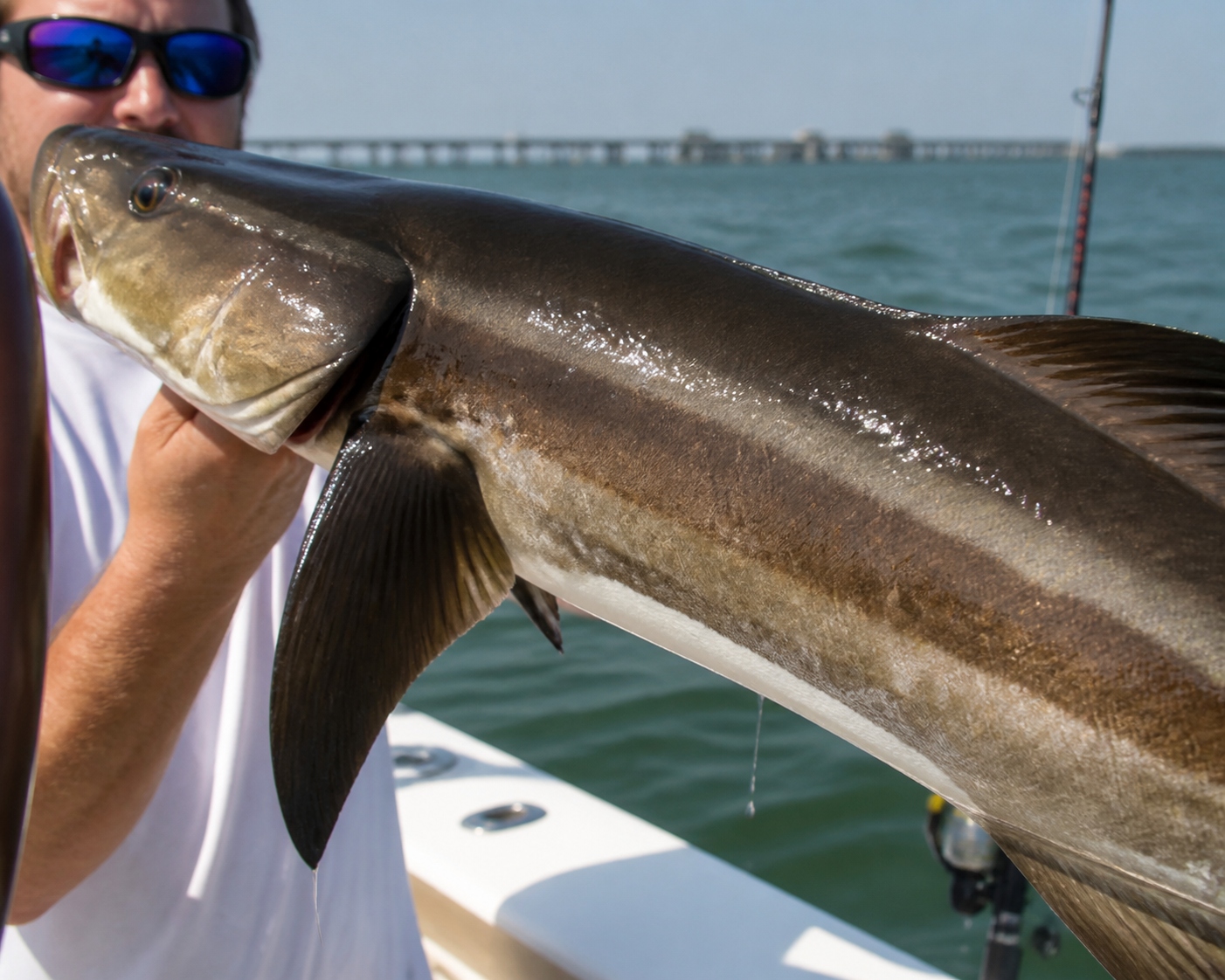
Lower Bay • June–Sept
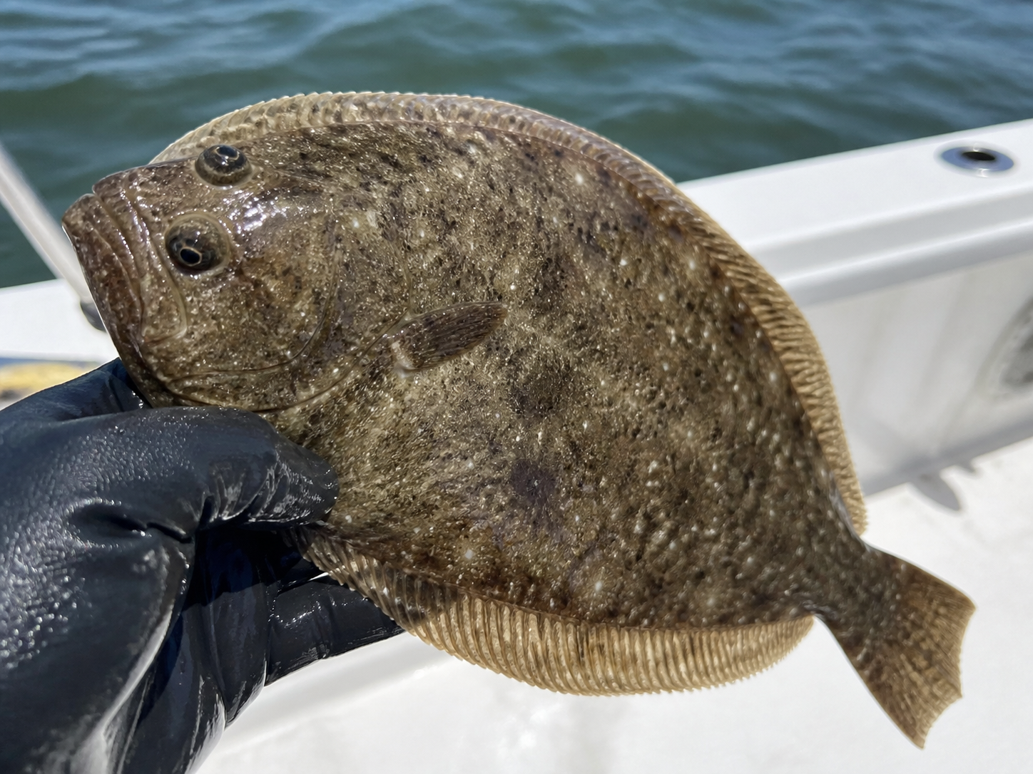
CBBT & Inlets • Summer
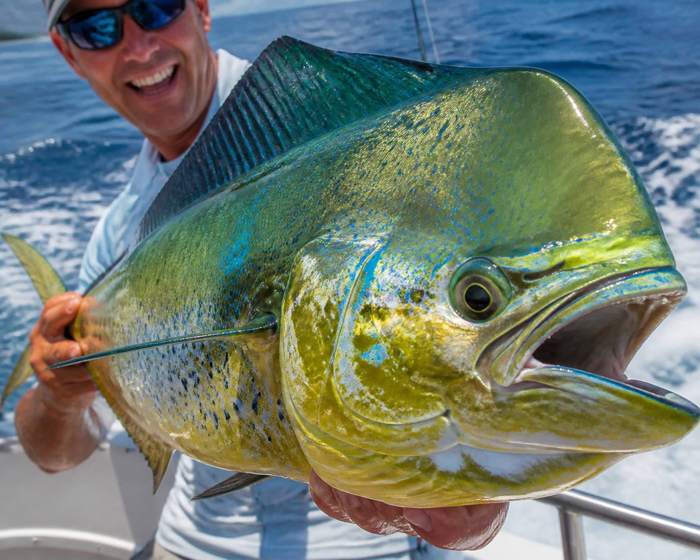
Norfolk Canyon • Summer
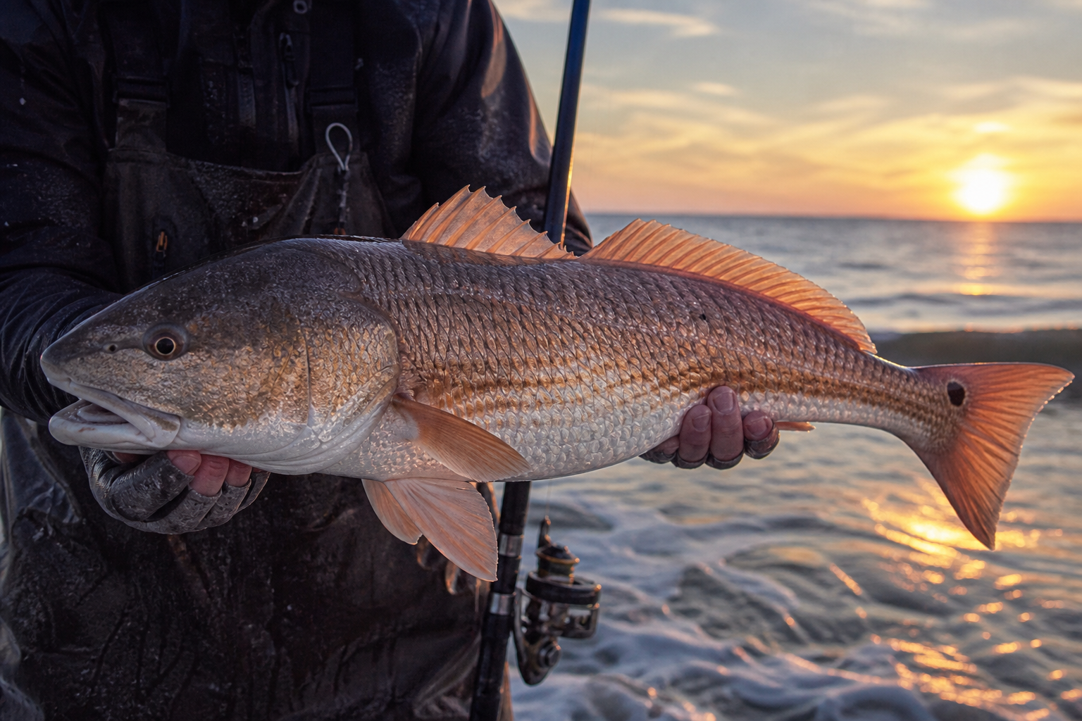
Shoals • May Run
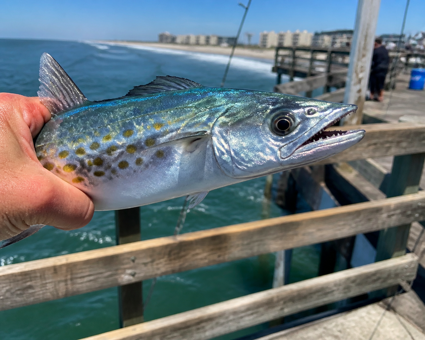
Oceanfront • Summer
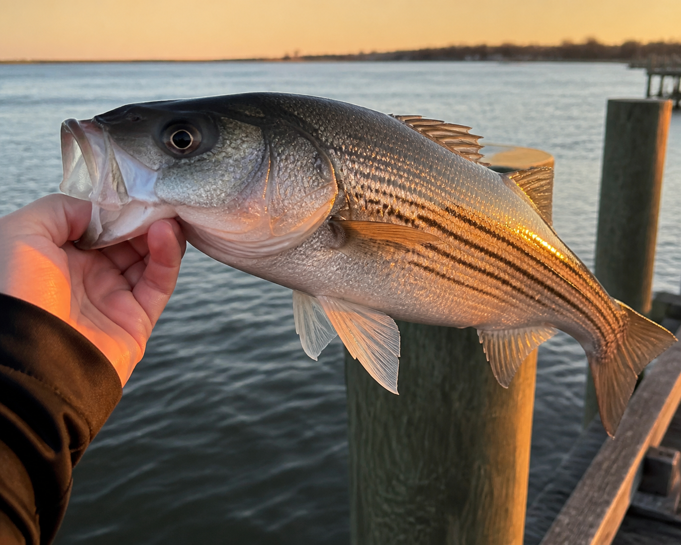
Rockfish • CBBT Fall
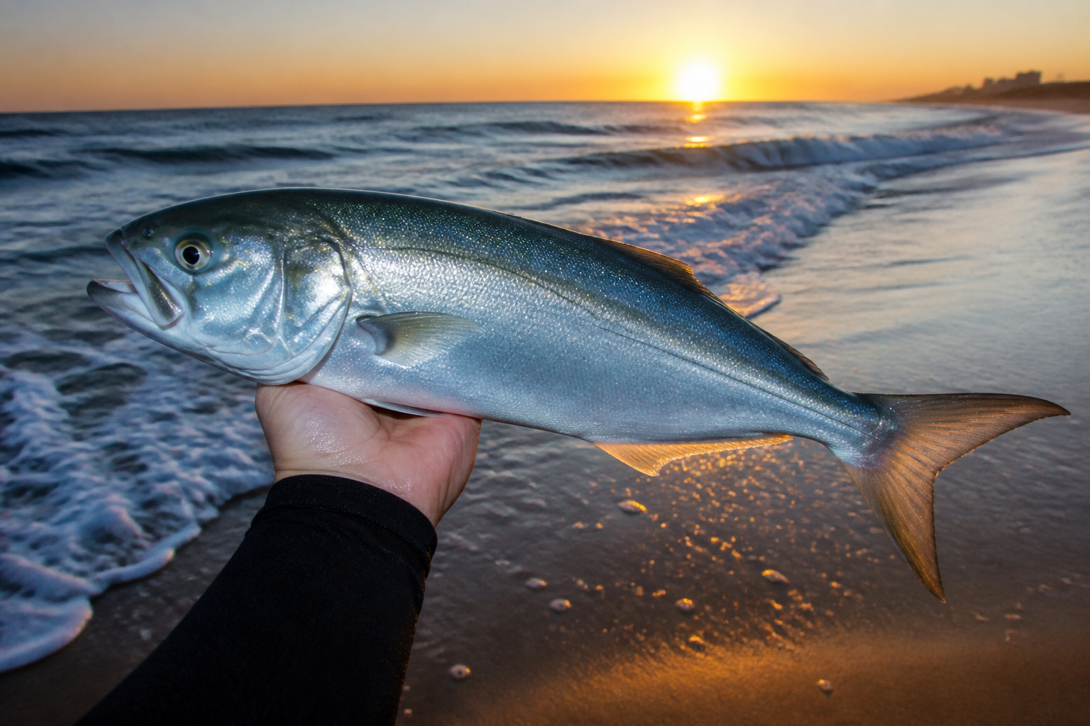
Surf & Piers • Spring On
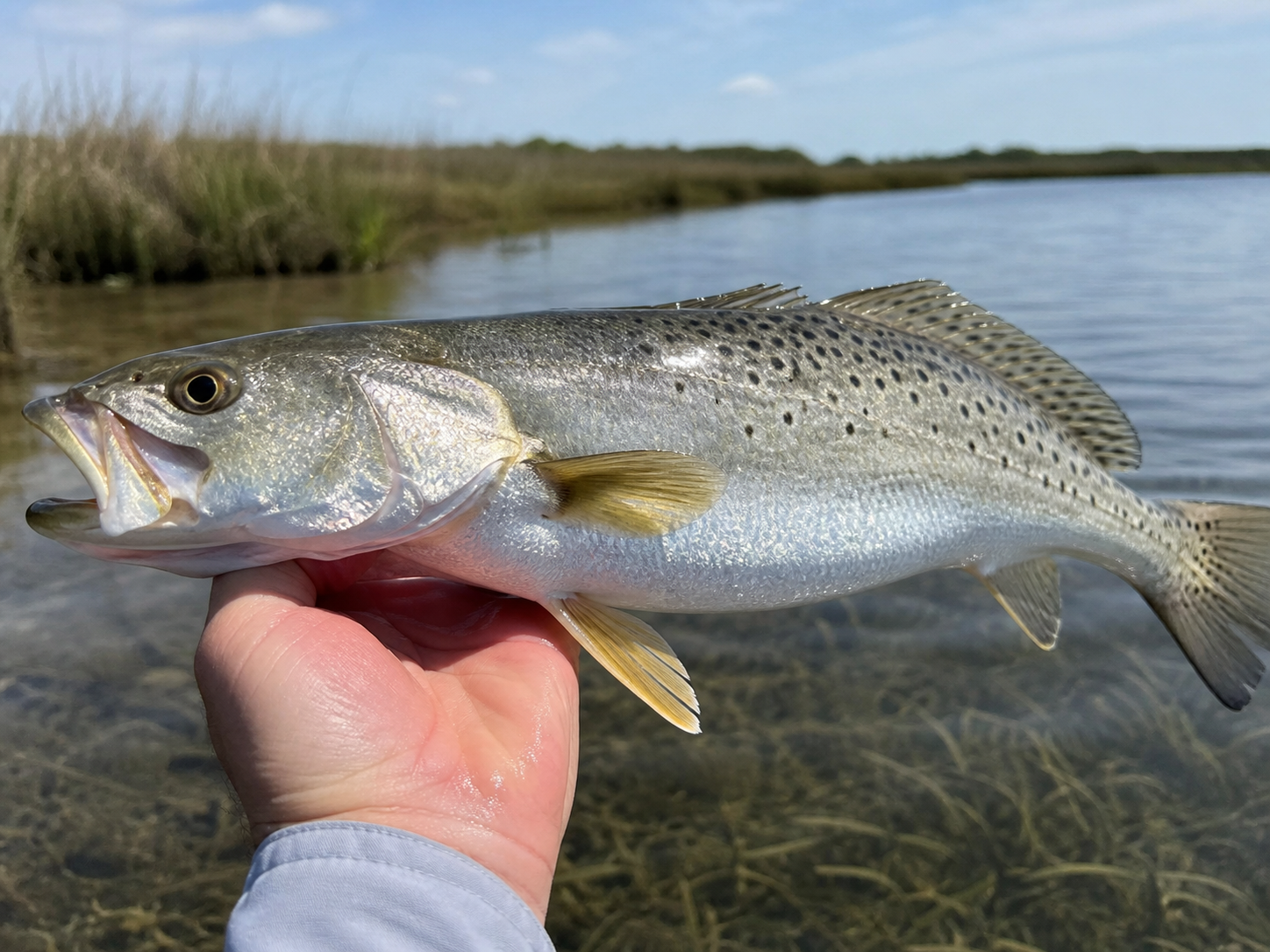
Grass Flats • Oct
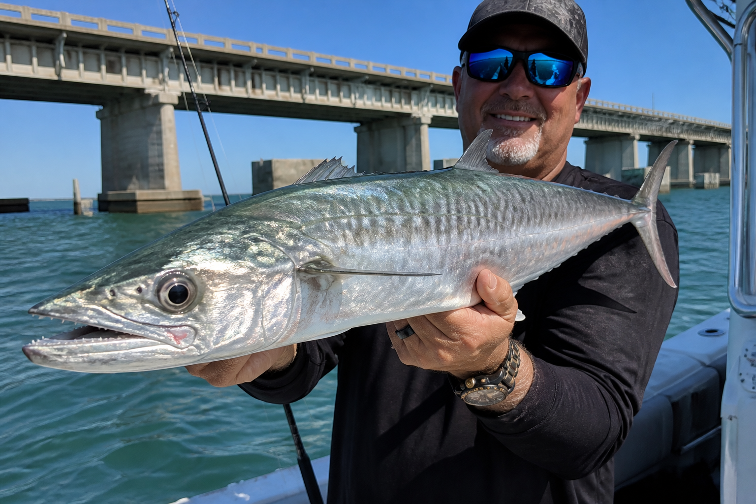
Offshore • Late Summer
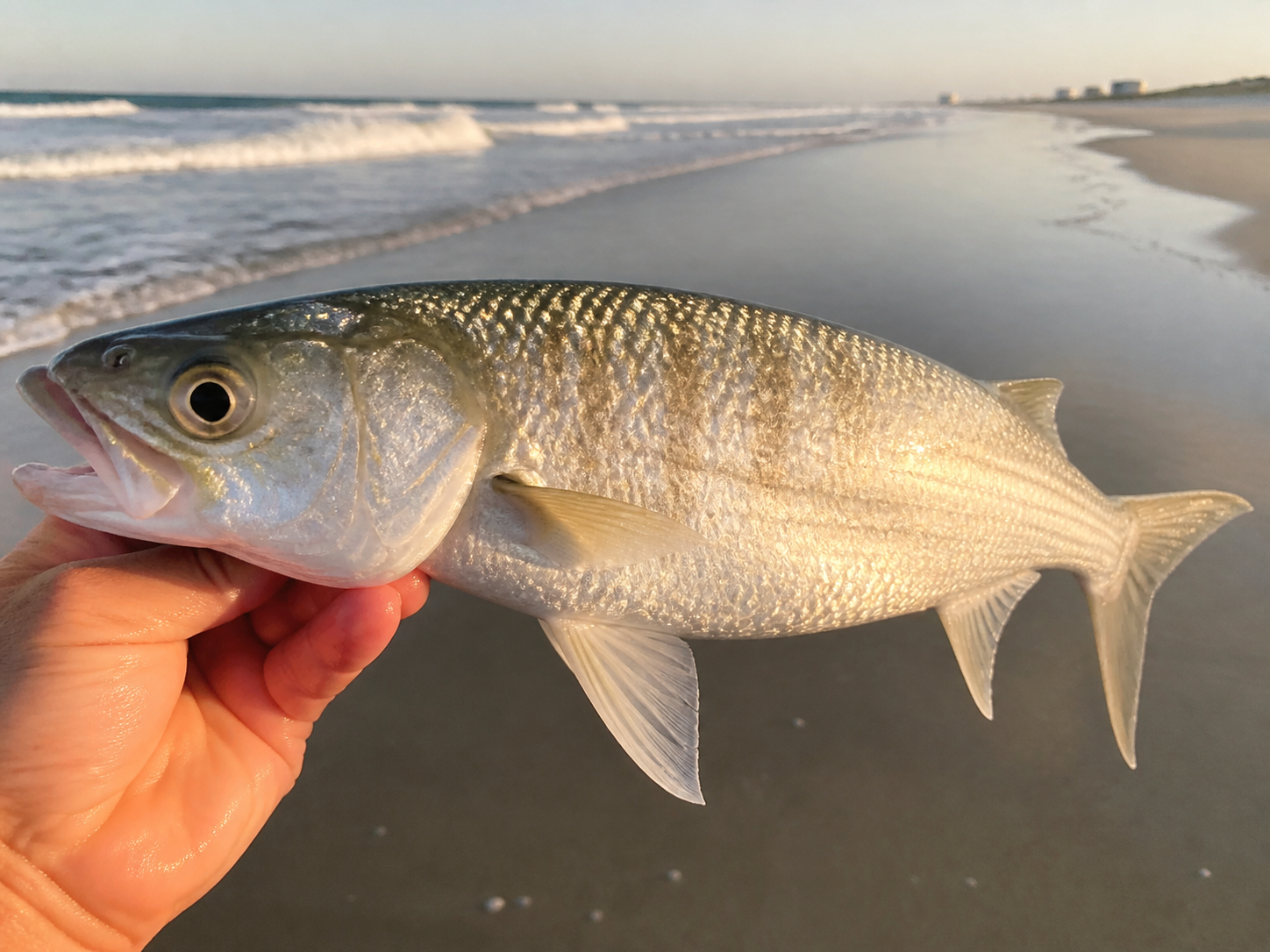
Sandbridge • Spring
The Fishery
The lower Chesapeake fishes twelve months a year — the target just rotates. Here is the rotation as the locals run it.
April–June
The mouth of the Bay wakes first. Black drum and the season's first bull reds stack on the Bridge-Tunnel islands and the Cape Charles shoals, croaker pour into the rivers, and the first flounder chew at Lynnhaven. The crab pots go back over the side.
June–September
Cobia water. Virginia does it two ways — a chum slick set off York Spit or Latimer Shoal, or poling the southern-Bay flats sight-casting to fish shadowing cownose rays. Spadefish load the CBBT islands, Spanish cut bait along the oceanfront, and the canyon fleet runs east from Rudee.
September–November
The best stretch of the year. Rockfish move onto the Bridge-Tunnel and the islands bite windows tighten around tide, speckled trout flood the Mobjack and Piankatank grass, bull reds storm the Eastern Shore shoals, and the spot runs light up every pier in Hampton Roads.
December–March
It never fully shuts down. Tautog hold on the CBBT rock when the fleet can reach them, the Elizabeth River's warm discharge keeps a speckled-trout bite alive while the rest of the Bay sits in the forties, and tidal blue cats eat year-round up the James and Chickahominy.
Geography
Salinity, not latitude, decides what bites where — and Virginia holds the saltiest, most ocean-connected third of the Chesapeake.
Virginia is one of the few states where a single ramp can put you in a brackish estuary or the open Atlantic. The lower Bay runs near ocean-strength salinity at the mouth — which is why cobia, red drum and Spanish push far up inside — and fades to fresh water by the time the James reaches Richmond. Blue crab and largemouth share the same watershed; only the salt line separates them.
The Chesapeake Bay Bridge-Tunnel stitches Virginia Beach to the Eastern Shore across seventeen-plus miles of islands, rock and pilings — the largest artificial structure in the estuary. There is no fishing from the crossing itself; access is by boat only, and the current between the spans runs hard enough that serious trips are planned around slack tide.
Past the salt, the Elizabeth, James and Chickahominy hold tidal largemouth and the East Coast's heaviest blue-catfish water. These same freshwater reaches — the James above Richmond, the Pamunkey and Mattaponi — are where the Bay's striped bass spawn each spring, which is why the rockfish rules upstream matter so much downstream.
Rules
Every tidal-water fishing rule in Virginia flows from one commission in Newport News. We read the meeting minutes so you can read the water.
One agency, all tidal water
The Virginia Marine Resources Commission manages everything from cobia at the CBBT to blue cats in the tidal James. The practical consequence: the fresh/saltwater license boundary is the fall line, not the salt line — casting for largemouth downtown Richmond still puts you in VMRC jurisdiction.
Seasons move by vote
Rockfish windows, drum slots and cobia rules are set and adjusted at VMRC's monthly commission meetings rather than fixed in stone. We translate every change into plain English the week it happens, and every species guide here carries the rule that currently governs it.
Rig quirks written in law
Some rules follow your tackle, not your target: non-offset circle hooks are required when you fish natural bait for striped bass anywhere in the Bay and its tributaries. Our rig guides are built around that requirement instead of pretending it away.
Current
Wind, chop and water temperature pulled from NDBC stations off Virginia Beach and the lower Bay — the numbers that decide whether you run the CBBT or stay inside.
Wind
Chop
Water Temp
Bite Score
Need a Virginia answer, not a forum answer?
Unlimited questions, answered by captains who fish the lower Chesapeake for a living.
Ask a Local CaptainFrom the Water
Catch intel posted by anglers who were actually out — Bridge-Tunnel windows, inlet bites, pier runs and the canyon fleet's numbers.
Plan a Trip
The rest of the site, built out the same way — specific to Virginia, updated as the Bay changes.
Town-by-town intel from Virginia Beach and Sandbridge to Kiptopeke and Chincoteague — launches, parking, and what runs past each shoreline.
ExploreNinety-two species profiles, each carrying the VMRC season and size rule that governs it in Virginia tidal water.
ExploreEvery lighted pier from Ocean View to Little Island — what each one charges, when it is open, and what came over the rail.
ExploreTackle sized to lower-Bay current, Bridge-Tunnel structure, and a Virginia surf that fishes lighter than Hatteras.
ExploreCobia-slick intel, CBBT tide windows, and every VMRC rule change worth knowing — sent Thursday, in time to plan Saturday.
No spam — leave whenever.